Nunavut is the newest, largest, and most northerly territory of Canada. Its vast territory makes it the fifth-largest country subdivision in the world, as well as North America's second-largest (after Greenland). The capital Iqaluit on Baffin Island in the east, was chosen by the 1995 capital plebiscite. It is Canada's only geo-political region that is not connected to the rest of North America by highway.
One of the world's most remote, sparsely settled regions, it has a population of 35,944, mostly Inuit, spread over an area of just over 1,750,000 km2, or slightly smaller than Mexico. Nunavut is also home to the world's northernmost permanently inhabited place. Eureka, a weather station also on Ellesmere Island, has the lowest average annual temperature of any Canadian weather station
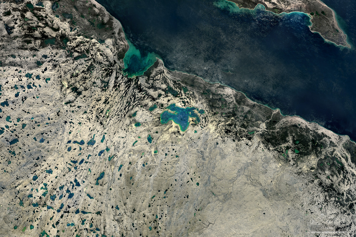
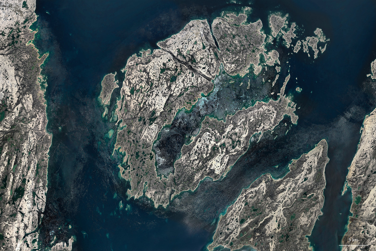
Nunavut also covers 160,935 km2 of water in Northern Canada. The territory includes part of the mainland, most of the Arctic Archipelago, and all of the islands in Hudson Bay, James Bay, and Ungava Bay, including the Belcher Islands, all of which belonged to the Northwest Territories from which Nunavut was separated. If Nunavut were a country, it would rank 15th in area.
Nunavut's highest point is Barbeau Peak (2,616 m (8,583 ft)) on Ellesmere Island. The population density is 0.019 persons/km2, one of the lowest in the world. By comparison, Greenland has approximately the same area and nearly twice the population.
Images from Google Earth Pro, Digital Globe, IBCAO, Landsat, Copernicus. Information from Wikipedia.